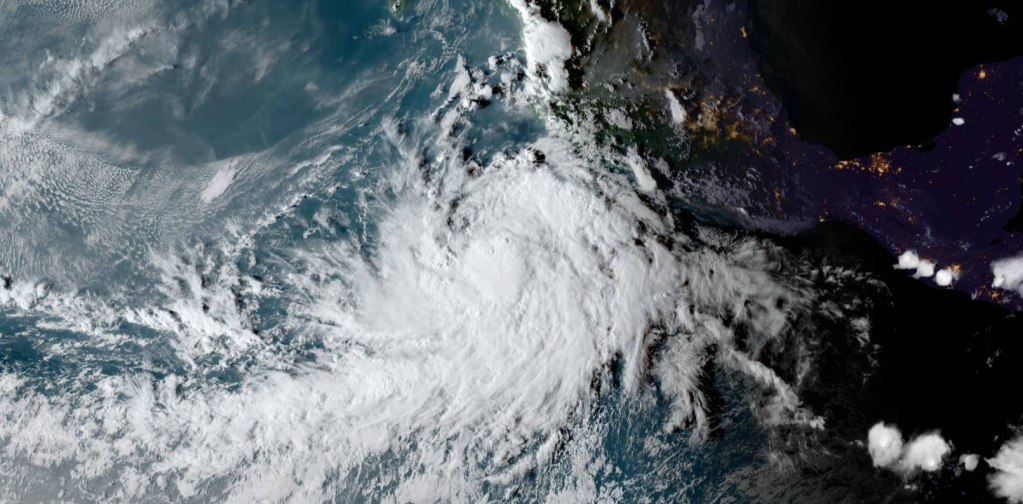
REMNANTS OF 06E KST Advisory Number 10 KST HQ CAGAYAN DE ORO, PHILIPPINES Remnants of Felicia [EP062021] 0000UTC WED JULY 21 2021 ...FELICIA ENTERS THE CENTRAL PACIFIC AND BECOMES A REMNANT LOW... ----------------------------------------------- SUMMARY OF INFORMATION ----------------------------------------------- LOCATION...14.9N 140.9W ABOUT 995 MI...1595 KM ESE OF HILO HAWAII MAXIMUM SUSTAINED WINDS...35 MPH...55 KM/H PRESENT MOVEMENT...WSW OR 255 DEGREES AT 16 MPH...26 KM/H MINIMUM CENTRAL PRESSURE...1008 MB...29.77 INCHES ----------------------------------------------- WATCHES AND WARNINGS ----------------------------------------------- There are no warnings and watches associated with Post-Tropical Cyclone Felicia ----------------------------------------------- KEY MESSAGES ----------------------------------------------- There are currently no Key Messages for Post-Tropicla Cyclone Felicia ----------------------------------------------- DISCUSSION ----------------------------------------------- A small area of deep convection that flared up early this morning has dissipated. Since then, what's left of Felicia is just a low cloud swirl moving within the trade wind flow, with thin high clouds moving over it from the west. The initial motion is 255/14 kt. Felicia is moving in a hostile environment, with dry, stable conditions, vertical wind shear greater than 20 kt, and sea surface temperatures around 25 to 26C. While there may be isolated flare-ups of deep convection over the next couple of days, reintensification under these conditions is not likely. Thus, Felicia has been declared a post-tropical remnant low. The remnant circulation of Felicia should continue to spin down and the global models open up the circulation into a trough by the end of the week. This is the last advisory issued by the Central Pacific Hurricane Center on Felicia. Additional information on this system can be found in the High Seas Forecasts issued by the National Weather Service in Honolulu under AWIPS header HFOHSFNP and WMO header FZPN40 PHFO. ----------------------------------------------- FORECAST CONE -----------------------------------------------FORECAST POSITIONS AND MAX WINDS INIT 16/1500Z 15.0N 121.6W 110 KT 125 MPH INIT 20/0900Z 15.9N 136.3W 40 KT 45 MPH 12H 20/1800Z 15.5N 138.4W 30 KT 35 MPH 24H 21/0600Z 14.9N 141.2W 25 KT 30 MPH 36H 2INIT 21/0300Z 14.9N 140.9W 30 KT 35 MPH...POST-TROP/REMNT LOW 12H 21/1200Z 14.5N 143.0W 25 KT 30 MPH...POST-TROP/REMNT LOW 24H 22/0000Z 13.9N 145.7W 25 KT 30 MPH...POST-TROP/REMNT LOW 36H 22/1200Z 13.3N 148.5W 25 KT 30 MPH...POST-TROP/REMNT LOW 48H 23/0000Z 13.0N 151.4W 25 KT 30 MPH...POST-TROP/REMNT LOW 60H 23/1200Z...DISSIPATED ----------------------------------------------- THIS IS THE FINAL KST ADVISORY ----------------------------------------------- INFORMATION FROM THE CENTRAL PACIFIC HURRICANE CENTER $$ FORECASTER PITOGO/KODOMA
Remnants of Felicia 2021
2 minutes

Leave a comment