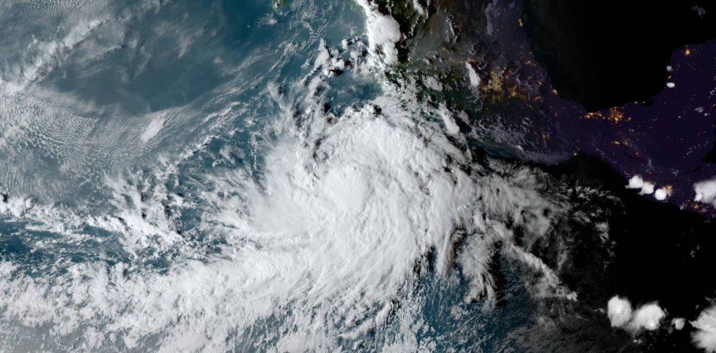
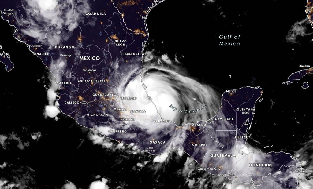
Tropical Storm Pamela has been recently designated by the National Hurricane Center and is currently forecasted to be a Category 2 hurricane, but it certainly cannot be ruled out it could be stronger. At 400 PM CDT (2100 UTC), the center of Tropical Storm Pamela was located near latitude 15.5 North, longitude 105.9 West. Pamela is moving toward the west-northwest near 15 mph (24 km/h), and this motion at a slower forward speed is expected through tonight. A turn to the northwest and then north is forecast to occur late Monday into Tuesday, followed by a turn to the northeast by Tuesday night. On the forecast track, the Pamela will pass south of the southern tip of the Baja California peninsula Tuesday night or early Wednesday and approach the coast of west-central mainland Mexico on Wednesday.
SUMMARY OF 400 PM CDT…2100 UTC…INFORMATION
LOCATION…15.5N 105.9W
ABOUT 265 MI…425 KM SSW OF MANZANILLO MEXICO
ABOUT 535 MI…855 KM S OF MAZATLAN MEXICO
MAXIMUM SUSTAINED WINDS…45 MPH…75 KM/H
PRESENT MOVEMENT…WNW OR 290 DEGREES AT 15 MPH…24 KM/H
MINIMUM CENTRAL PRESSURE…1005 MB…29.68 INCHES

FORECAST POSITIONS AND MAX WINDS
INIT 10/2100Z 15.5N 105.9W 40 KT 45 MPH
12H 11/0600Z 16.0N 107.4W 50 KT 60 MPH
24H 11/1800Z 16.9N 108.8W 60 KT 70 MPH
36H 12/0600Z 18.1N 109.7W 70 KT 80 MPH
48H 12/1800Z 19.6N 109.9W 80 KT 90 MPH
60H 13/0600Z 21.2N 109.3W 90 KT 105 MPH
72H 13/1800Z 23.3N 108.0W 95 KT 110 MPH
96H 14/1800Z 28.1N 103.1W 25 KT 30 MPH…POST-TROP/INLAND
120H 15/1800Z…DISSIPATED

HAZARDS AFFECTING LAND
SURF: Pamela is expected to generate swells that will affect portions of the southern Baja California peninsula and southwestern and west-central mainland Mexico by late Tuesday. These swells are likely to cause life-threatening surf and rip current conditions. Please consult products from your local weather office.
Information from the National Hurricane Center

Leave a comment