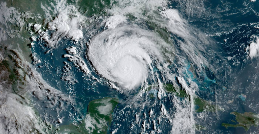
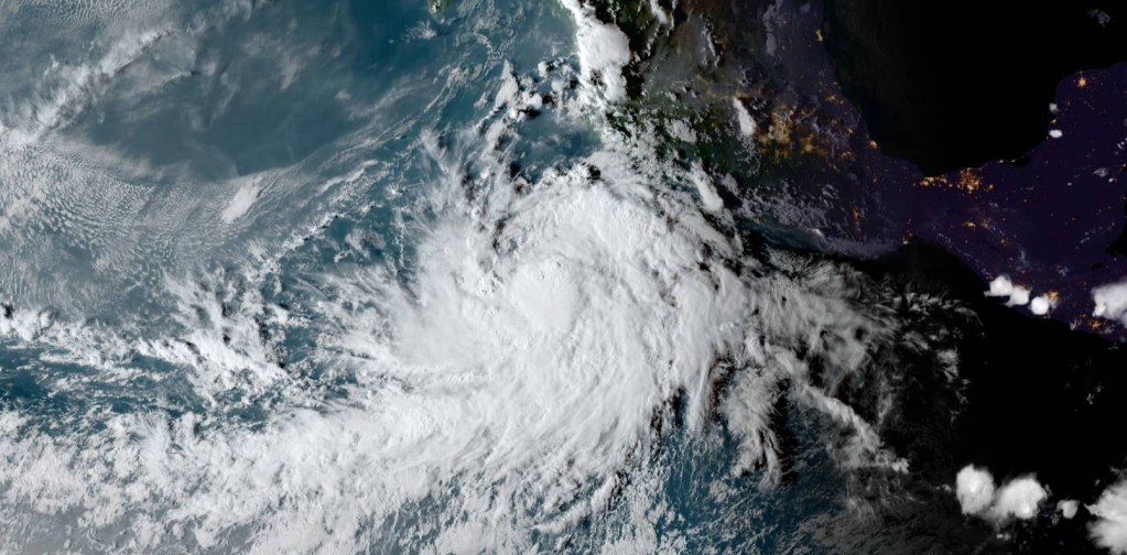
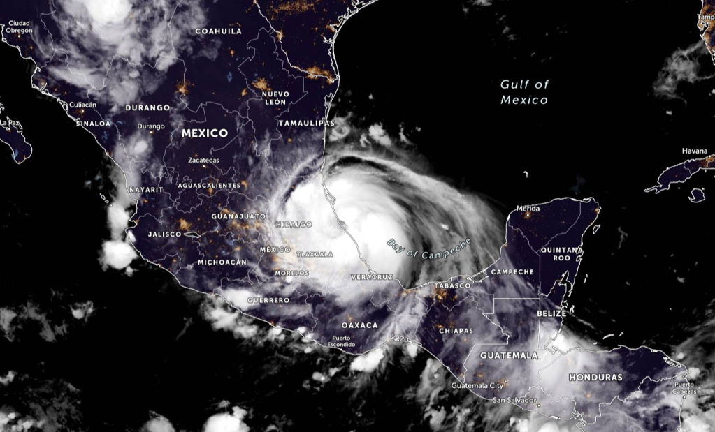
Hurricane Ida is rapidly intensifying in the Gulf of Mexico and is forecasted to become a Category 4 hurricane. The center of Hurricane Ida was located near latitude 24.4 North, longitude 85.7 West. Ida is moving toward the northwest near 16 mph (26 km/h) and this general motion should continue through late Sunday or early Monday, followed by a slower northward motion on Monday. On the forecast track, the center of Ida will move over the southeastern Gulf of Mexico today and move over the central Gulf of Mexico tonight and early Sunday. Ida is then expected to make landfall along the U.S. northern Gulf coast within the hurricane warning area on Sunday, and then move inland over portions of Louisiana or western Mississippi later on Monday. Rapid strengthening is forecast during the next 24 to 36 hours and Ida is expected to be an extremely dangerous major hurricane when it approaches the northern Gulf coast on Sunday. Weakening is expected after Ida makes landfall.
SUMMARY OF INFORMATION
LOCATION…24.4N 85.7W
ABOUT 385 MI…620 KM SSE OF THE MOUTH OF THE MISSISSIPPI RIVER
ABOUT 440 MI…710 KM SSE OF NEW ORLEANS LOUISIANA
MAXIMUM SUSTAINED WINDS…85 MPH…140 KM/H
PRESENT MOVEMENT…NW OR 315 DEGREES AT 16 MPH…26 KM/H
MINIMUM CENTRAL PRESSURE…985 MB…29.09 INCHES
WATCHES AND WARNINGS
A Storm Surge Warning is in effect for…
- East of Rockefeller Wildlife Refuge Louisiana to the
Mississippi/Alabama border - Vermilion Bay, Lake Borgne, Lake Pontchartrain, and Lake Maurepas
A Hurricane Warning is in effect for…
- Intracoastal City Louisiana to the Mouth of the Pearl River
- Lake Pontchartrain, Lake Maurepas, and Metropolitan New Orleans
A Storm Surge Watch is in effect for…
- Sabine Pass to Rockefeller Wildlife Refuge Louisiana
- Mobile Bay
A Hurricane Watch is in effect for…
- Cameron Louisiana to west of Intracoastal City Louisiana
- Mouth of the Pearl River to the Mississippi/Alabama border
A Tropical Storm Warning is in effect for…
- Cameron Louisiana to west of Intracoastal City Louisiana
- Mouth of the Pearl River to the Mississippi/Alabama border
A Tropical Storm Watch is in effect for…
- Mississippi/Alabama border to the Alabama/Florida border


FORECAST POSITIONS AND MAX WINDS
INIT 28/0900Z 24.0N 85.2W 70 KT 80 MPH
12H 28/1800Z 25.4N 86.9W 85 KT 100 MPH
24H 29/0600Z 27.1N 88.9W 105 KT 120 MPH
36H 29/1800Z 28.6N 90.5W 120 KT 140 MPH
48H 30/0600Z 30.1N 91.3W 85 KT 100 MPH…INLAND
60H 30/1800Z 31.6N 91.2W 45 KT 50 MPH…INLAND
72H 31/0600Z 33.2N 90.5W 30 KT 35 MPH…INLAND
96H 01/0600Z 36.0N 87.0W 25 KT 30 MPH…INLAND
120H 02/0600Z 37.5N 82.5W 20 KT 25 MPH…POST-TROP/REMNT LOW
FORECASTED STORM SURGE

Information from the National Hurricane Center


Leave a comment