The Western Pacific is currently blowing up in activity with multiple Tropical Depressions and Tropical Storms active. Lupit and 15W are Tropical Storms are active. 12W and 14W (GorioPH) remains a Low Pressure Area system by unofficial KST estimates.

Here is a quick overview for all Tropical Cyclones
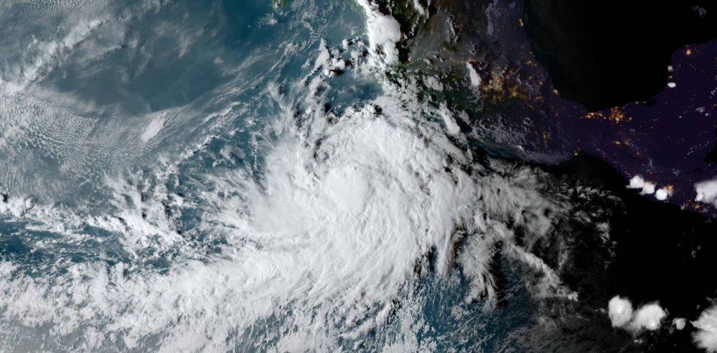
Tropical Depression 12W

12W remains a Low Pressure system by Khan Storm Tracking estimates due inadequate circulation, although 12W does have chances to form to a Tropical Cyclone. 12W will dissipate in 2 days as it becomes absorbed into 14W, which is forecast to remain the stronger, dominant system.
Maximum significant wave height is 3.7 meters (12 feet).
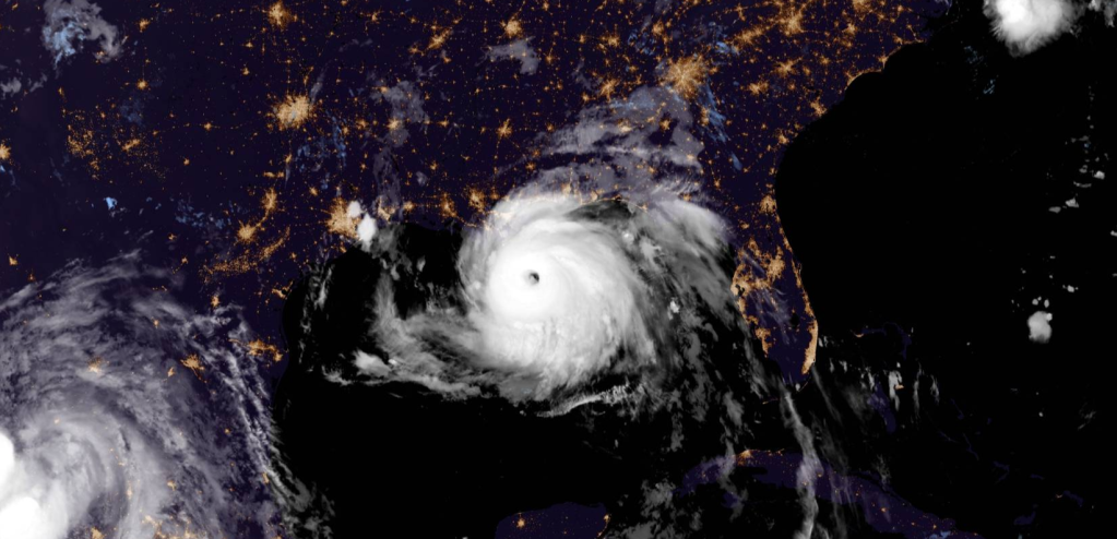
Tropical Storm Lupit

Tropical Storm Lupit has made landfall over China a few hours ago by KST estimates. It’s bringing heavy rainfall and strong winds to Shantou City and several nearby cities and villages. The JTWC track forecast keeps Lupit over China for about 60 hours, which is expected to result in dissipation by 3 days. However, it is worth noting that some model guidance, such as ECMWF, the ECMWF ensemble, and COAMPS-TC expect the vortex to survive and restrengthen after moving back offshore over the East China Sea. This scenario could be realistic if the remnant vortex reforms over water within the nearby monsoon trough, which is providing background vorticity. While the current forecast continues to predict dissipation over land, the potential for revival over water will be closely monitored closely.
Maximum significant wave height is 4.6 meters (15 feet).
Watches and Warnings
| Blue Typhoon Alert Average of Beaufort force 6 (44 km/h; 27 mph) or higher wind speeds on coasts or land, or gusts of up to Beaufort force 8 (68 km/h; 42 mph), within 24 hours. |
| China |
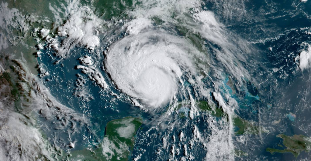
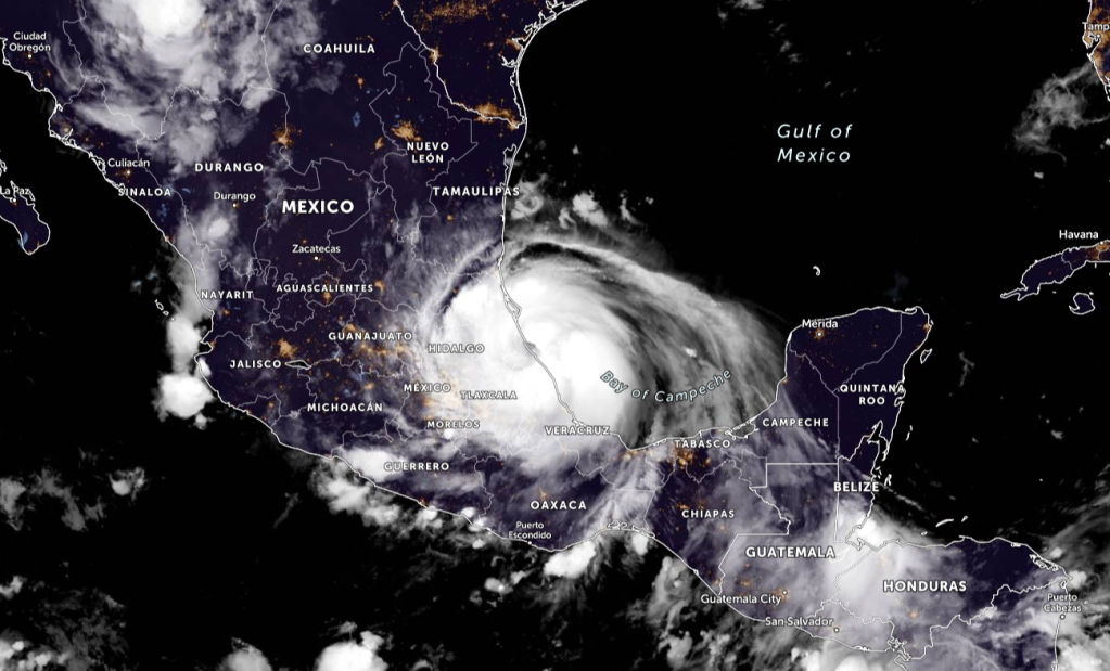
Tropical Depression 14W

Tropical Depression 14W [GorioPH] is a Low Pressure System by Khan Storm Tracking estimates. 14W has a very high chance forming into a Tropical Cyclone. 14W should gradually intensify to a peak intensity of 95 km/h (50 knots) in 2 days with gradual weakening after 3 days. After 4 days, 14W will begin extra-tropical transition (ETT) as it interacts with the westerlies and the baroclinic zone. Overall, there is low confidence in the JTWC intensity forecast due to the complex nature of the system, persistent moderate to strong wind shear (15 to 25 knots) and possible interaction with land after 3 days. Maximum significant wave height is 3.7 meters (12 feet).
Tropical Storm 15W

Tropical Storm 15W could possibly become the next named storm in the basin. 15W is luckily not going to affect any land masses in its forecast.
15W will continue on its current track along the western edge of the subtropical ridge. After 18 hours, it will begin to round the subtropical ridge axis then accelerate northeastward and intensify.
As the system tracks poleward, wind shear will increase as it approaches the prevailing westerlies. Additionally, sea surface temperatures will begin to drop after making the turn northeastward.
The environment will quickly become marginal but will still fuel a slight intensification to 95 km/h (50 knots) at 24 hours. Afterward, 15W will enter an unfavorable environment with high wind shear and low sea surface temperatures that will decay the system.
There is a possibility that the system will dissipate before the end of the forecast period should the marginal environment become more unfavorable.
Otherwise, in 2 days, the storm will begin extra-tropical transition (ETT) and transform into a gale-force cold core low in 3 days. Forecast guidance are in tight agreement which lends high confidence to the JTWC track forecast up to 3 days only due to track uncertainties associated with ETT.
There is medium confidence in the intensity forecast.
Maximum significant wave height is 4.9 meters (16 feet).
The next 5 names in the Western Pacific are what follows…
Mirinae, Nida, Omais, Conson, Chanthu
For the Philippine Names…
Huaning, Isang, Jolina, Kiko, Lannie
ALL INFORMATION FROM THE JOINT TYPHOON WARNING CENTER, JMA, PAGASA
AND KHAN STORM TRACKING.
Individual Storm Articles will be made if necessary for these storms.

Leave a comment