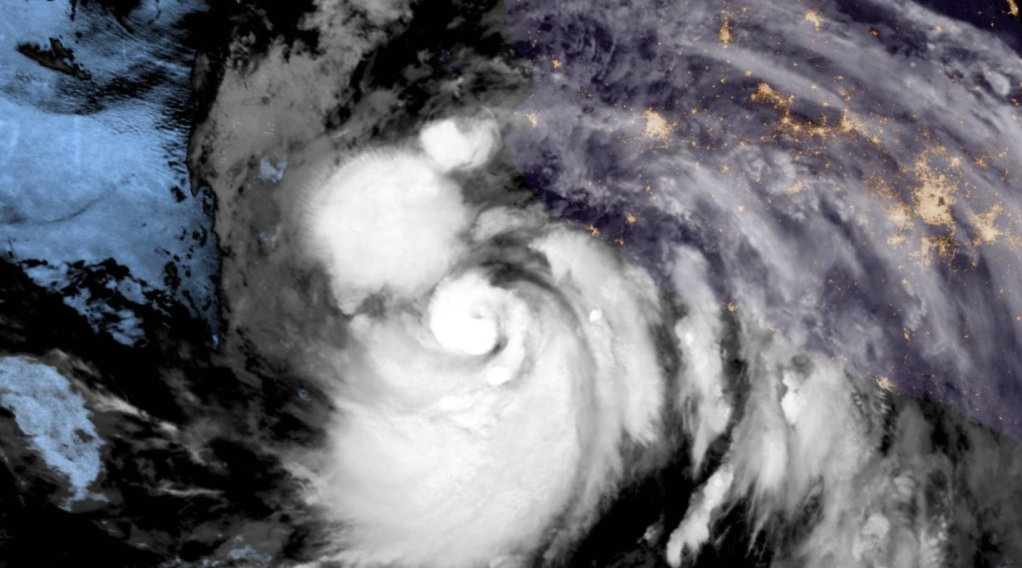
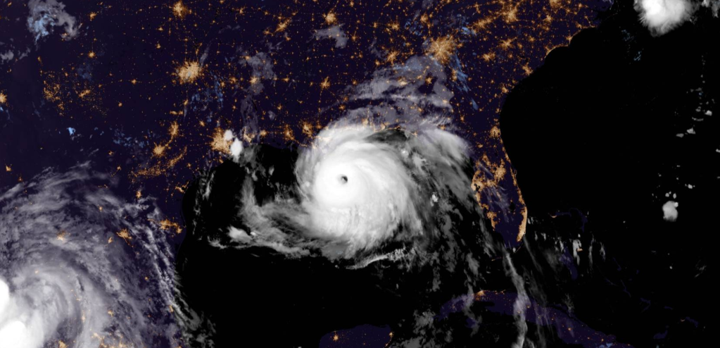
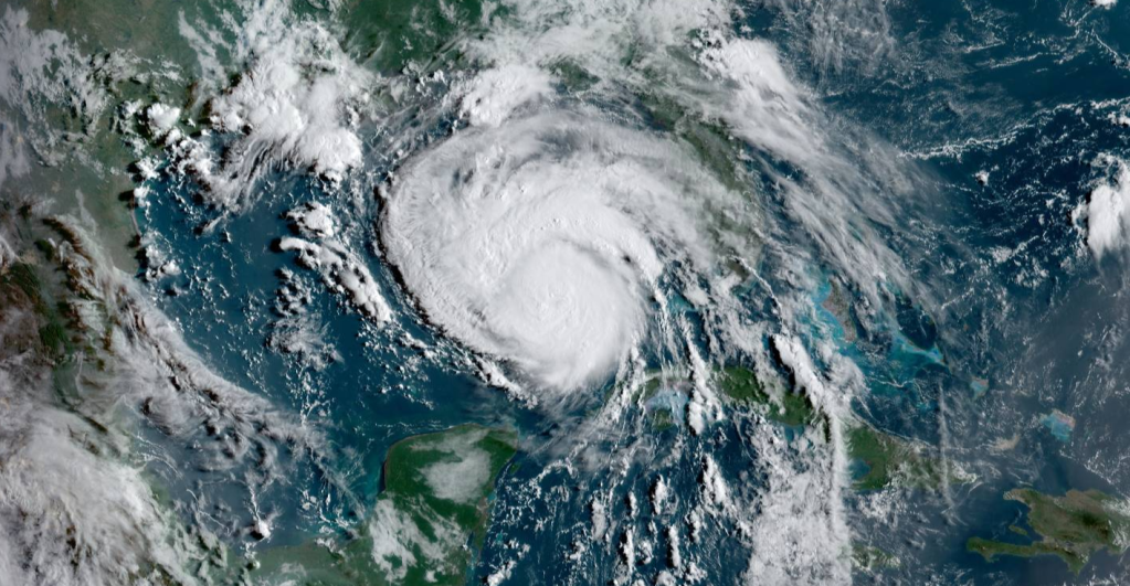
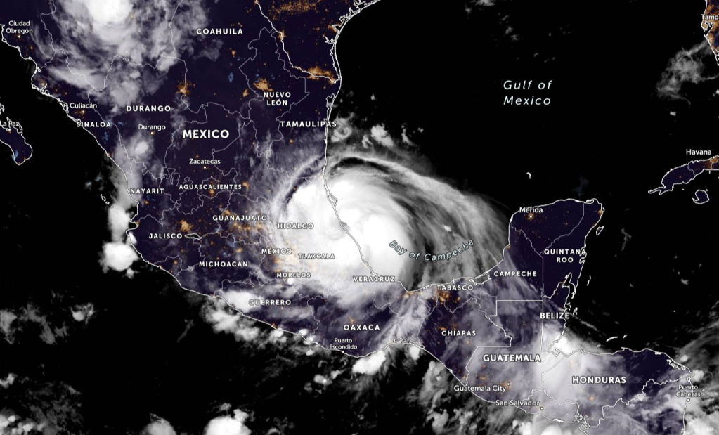
Hurricane Enrique is now forecasted to become a Category 2 Hurricane as it intensifies quickly off the Mexican Coast.
Current Information

Enrique is at 17.6N 106.0W. The outer rainbands of Enrique are likely to produce heavy rains across a portion of southwestern Mexico during the next couple of days, which would likely cause life-threatening flash flooding and mudslides. Tropical-storm-force winds are expected to continue across portions of southwestern Mexico through early Monday. Although the core of Enrique is still forecast to remain just offshore, any deviation to the right of the forecast track or expansion of the wind field could bring even stronger winds onshore over a portion of the southwestern coast of Mexico. Therefore, a Hurricane Watch is in effect for a portion of that area. Enrique has moved quite slowly overnight and the initial motion estimate is north-northwestward, or 330/3 knots. Steering currents are expected to remain rather weak over the next few days. The system is expected to move on a north-northwestward to northwestward heading, in the general direction of a weak mid-level trough over extreme northwestern Mexico, for the next 2-3 days.
Information provided by the National Hurricane Center (NHC) – Forecaster Pasch of the NHC


Leave a comment